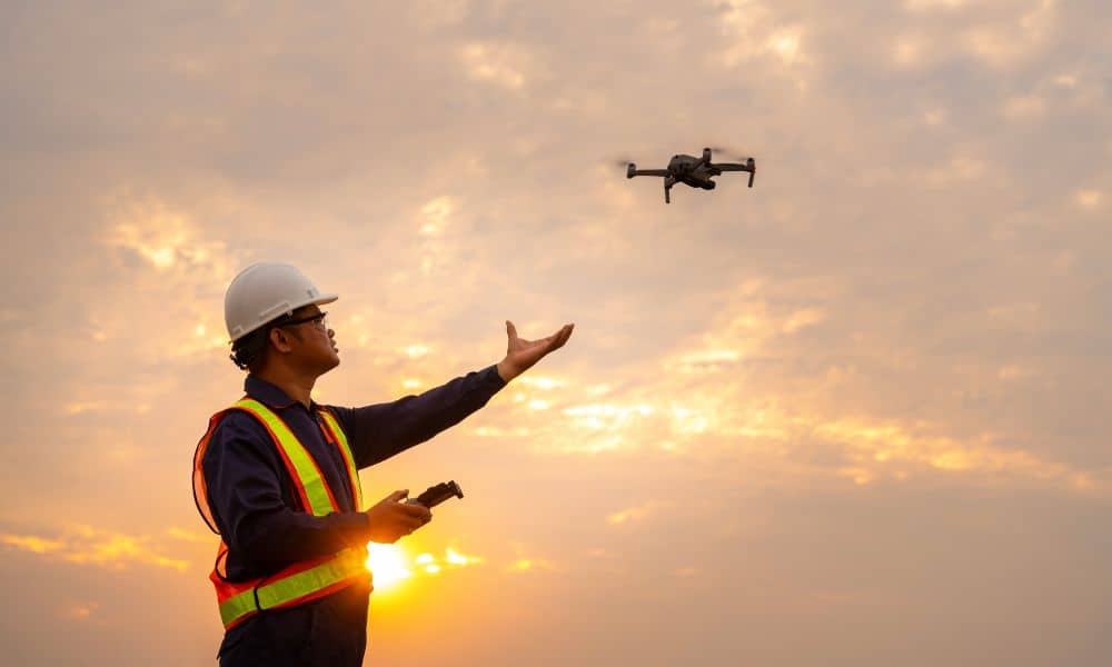
The Future of Geospatial Data: The Power of Lidar Mapping Explained

LiDAR mapping is revolutionizing the way we understand and interact with geospatial data. In a world where data drives smarter decisions, this advanced technology uses laser pulses to generate high-resolution, 3D representations of both natural landscapes and built environments. From city planning and infrastructure design to forest conservation and coastal monitoring, LiDAR mapping is becoming […]