What a Property Survey Shows Before Lot Line Changes
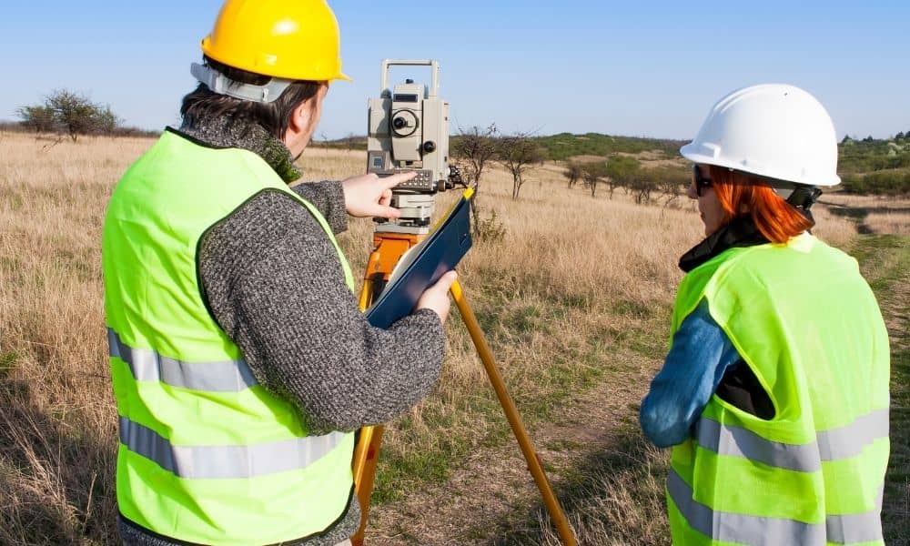
Changing lot lines sounds simple at first. Maybe you want to buy a strip of land from your neighbor. Maybe you want to clean up a weird boundary that never made sense. It feels like a quick fix. Then the survey comes in, and things get real. A property survey does more than draw lines […]
When Should You Start Land Surveying for a Project?
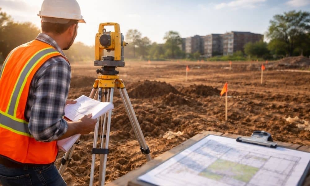
Greenville keeps growing. New homes, new shops, and new projects are appearing across the city. With that growth come more rules, more reviews, and tighter timelines. Because of this, the way people plan projects is starting to change, especially with land surveying early in the project. In the past, many property owners would wait. They […]
When LiDAR Mapping Makes Sense Before Clearing Land

Buying a wooded lot in Greenville feels like a win at first. You get privacy, shade, and space to build. Then things shift once clearing begins. The ground looks different. Plans start to change. Costs begin to climb. That happens more than people expect. Many buyers walk through a property and feel confident. The land […]