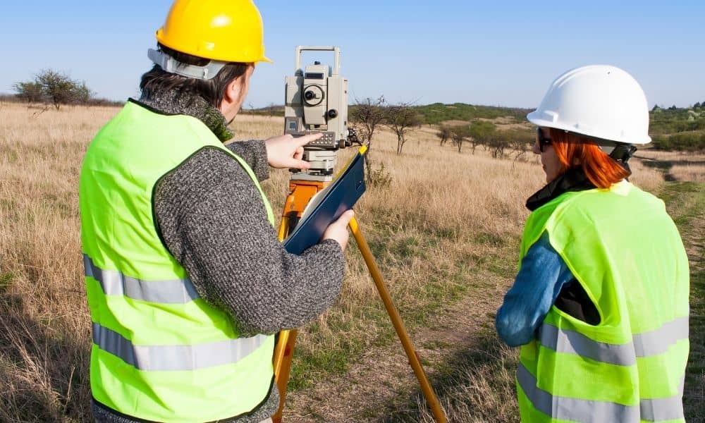
Why a Commercial Property Surveyor Plays a Key Role in Development Planning

A commercial property surveyor is the first person on your land. They measure property lines. They find problems. They document what’s actually there. For developers, this early work prevents big mistakes. It stops permit delays. It keeps projects on schedule. Many developers skip surveys or ignore them. This is a mistake. Surveyors find real conditions […]
Property Line Markers Missing? Here’s What Homeowners Should Do Next
Missing property line markers can create big problems for homeowners. A small metal pin or corner marker may not seem important at first. However, if it cannot be found, it can lead to fence problems, permit delays, arguments with neighbors, and confusion before a project even begins. Many people only think about property lines when […]
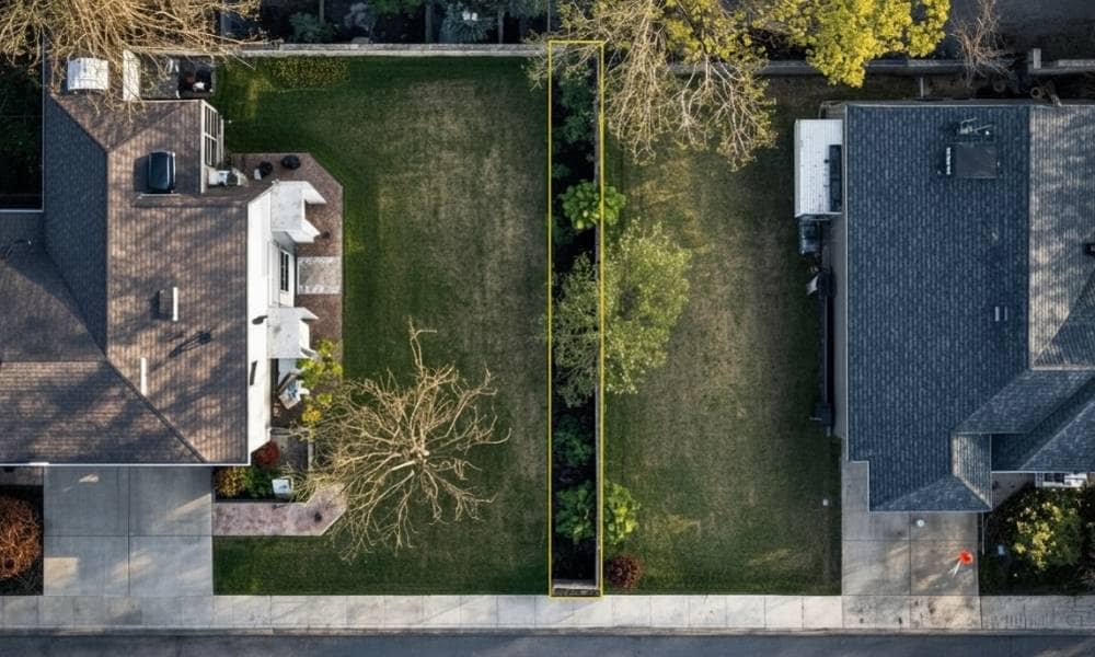
What a Property Survey Shows Before Lot Line Changes
Changing lot lines sounds simple at first. Maybe you want to buy a strip of land from your neighbor. Maybe you want to clean up a weird boundary that never made sense. It feels like a quick fix. Then the survey comes in, and things get real. A property survey does more than draw lines […]