A big commercial project does not start with a shovel in the ground. It starts with information. Before an architect draws a site plan, someone has to answer some basic questions about the land. Where are the real boundaries? What pipes and lines already run through the site? Which way does the ground slope? Where does water go when it rains?
That work belongs to surveying companies. On a small house lot, one survey can answer most of these questions in a few days. On a large commercial site, the work looks very different. Several types of surveys happen over many months. Each one feeds into engineering choices, permit approvals, and the order construction happens in.
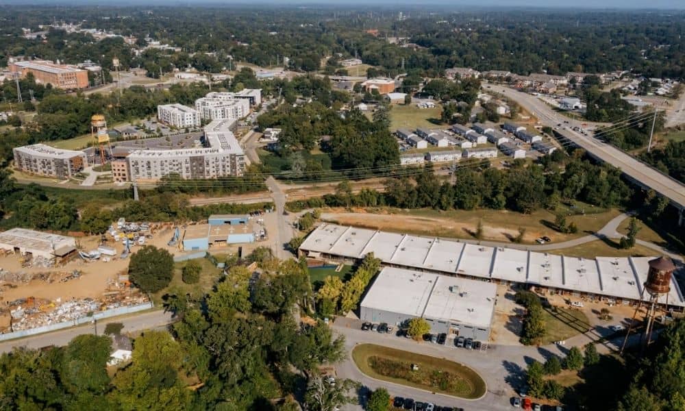
Upstate South Carolina has had steady commercial and industrial growth. This kind of survey work has become normal instead of rare. The Greenville County Square redevelopment shows how big these projects can get. That downtown project is set to add more than 3 million square feet of new space. On a project that size, survey data has to stay accurate from the first site visit to the finished building.
Why Large Development Sites Require Early Survey Coordination
Large sites carry more risk than small ones. That risk shows up fast if survey work starts late.
A commercial property of 50, 100, or 300 acres often has more than one legal description. It may include easements from past owners. It may have boundary lines nobody has checked in decades. Before a design team can pick a building spot, they need one clear picture of the property. They cannot work from old deeds and maps that do not agree with each other.
Timing matters as much as accuracy. Lenders, title companies, and planning offices often will not move a project forward without survey documents. If survey work starts too late, it can slow down permits or financing. Surveying companies that handle commercial projects often get involved early. This happens well before architects lock in a design. That way, field data is ready when the real decisions start.
This matters even more on sites tied to Upstate South Carolina’s recent industrial growth. Many of these projects plan several buildings, roads, and utility lines across one large piece of land.
What Surveying Companies Document Before Site Design Begins
Before a design team draws a single building, surveying companies deliver several kinds of work.
A boundary survey sets the legal limits of the property. It comes from research into deeds, plats, and past surveys. It also comes from field measurements and finding old survey markers. This becomes the base document every later report uses.
A topographic survey maps the existing ground. It shows elevation changes, drainage paths, tree lines, and other features. Engineers use this to plan grading and drainage. They also use it to decide how high each building needs to sit.
Some properties need an ALTA/NSPS Land Title Survey. This happens when the property is changing hands or a lender is involved. This type of survey follows a detailed national standard. Lenders and title companies often expect it for commercial deals.
A utility survey finds existing water, sewer, gas, electric, and phone lines. It uses both what surveyors see in the field and utility company records. On a large site, this step alone can decide where buildings go. Moving a major utility line is rarely cheap or easy.
Wetlands, floodplain areas, and other limits get marked early too. These limits can block construction in certain spots. This is true no matter what the design team first had in mind.
Coordinating Survey Data Across Large or Complex Properties
One type of survey rarely tells the whole story on a large site. The real challenge is making sure all the data lines up. Boundary, topographic, utility, and environmental data all need to use the same coordinate system and the same control points.
This matters most on sites built in phases. A building might go up in year one. A second phase might follow two or three years later. Both phases need to match the same survey control. If they do not, small errors can add up. A road might not quite connect. A utility line might land in the wrong spot.
Complex properties add more work. A site made from several combined parcels needs careful research. So does a site crossed by an old easement or right of way. Surveying companies on these projects often keep one master set of survey data. They update it as new information comes in. They do not treat each phase like its own separate job. This steady approach helps keep a large project on schedule.
How Survey Information Supports Engineering and Construction Planning
Civil engineers use survey data as the starting point for almost every choice on a commercial site. Grading and drainage plans depend on accurate topographic data. Road and utility layouts depend on boundary and easement information. Stormwater plans depend on knowing how water moves across the property right now.
Architects use that same data too. They use it to understand setbacks and how much of the site they can build on. They also use it to see how a new building will sit next to the existing ground. When survey data is missing or old, design teams end up guessing. On a large site, guesses often turn into expensive problems later.
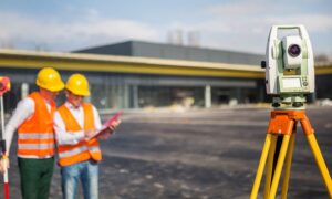
Construction surveying carries this work into the field once permits get approved. Survey crews mark building corners, utility lines, and road paths. This helps builders follow the approved plans exactly. On large sites, this staking happens in stages. The stages match how construction moves forward. Crews check and reset control points as grading and utility work continue.
Reducing Site Planning Conflicts Before Construction Starts
Most costly problems during commercial construction trace back to a gap in survey work. A boundary line might turn out to be a few feet off from what a plan showed. A utility line might not have been located correctly before design began. A drainage pattern might be wrong because the topographic data was not complete.
Doing survey work early gives design and permitting teams a chance to catch these problems on paper. That is much better than catching them in the field. It also gives developers a clearer idea of what a site can support. They learn this before they commit to a building plan.
This does not remove every risk on a large project. Sites are complicated. Rules can change based on the city, county, lender, or title company involved. Steady, well-coordinated survey work still helps a lot. It cuts down on surprises once construction starts. That matters more as a project gets bigger and gets built in more phases.