
When Should You Start Land Surveying for a Project?
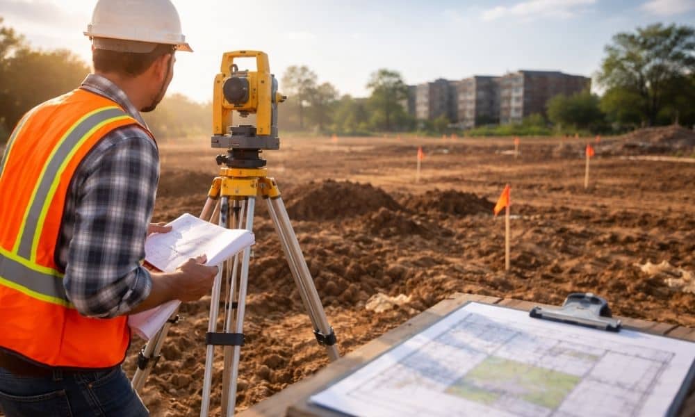
Greenville keeps growing. New homes, new shops, and new projects are appearing across the city. With that growth come more rules, more reviews, and tighter timelines. Because of this, the way people plan projects is starting to change, especially with land surveying early in the project. In the past, many property owners would wait. They […]
LiDAR Mapping Reveals Hidden Flood Risks in Land
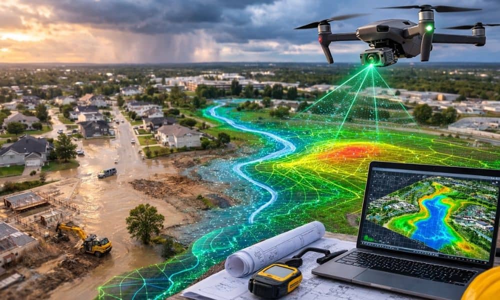
Flood disasters appear in the news more often today. A strong storm can turn quiet streets into flooded roads in only a few hours. Homes take on water, construction sites fill with mud, and neighborhoods struggle to recover. Because of this, many people now look more closely at how land handles rain. Cities like Greenville, […]
Why Storms Make an ALTA Title Survey Essential
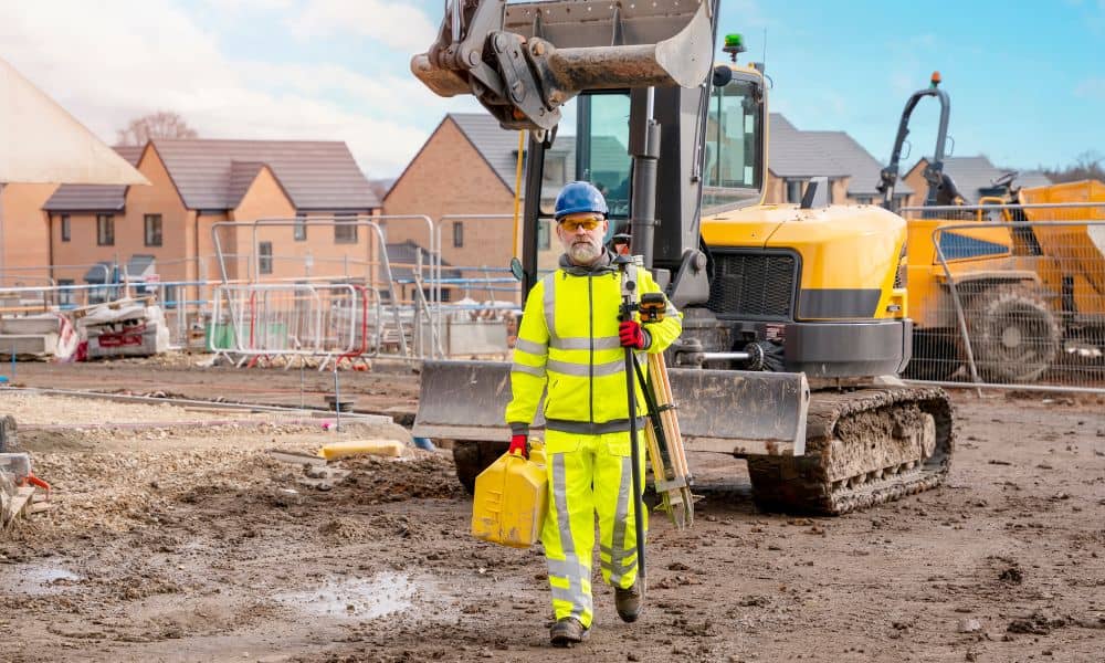
Greenville saw heavy storms last weekend that brought flash floods, strong winds, and muddy yards. What many homeowners and buyers don’t realize is that this kind of weather can quietly change how a property is marked, measured, and even valued. That’s where an ALTA Title Survey comes in—it’s a detailed land survey that helps keep […]