Greenville saw heavy storms last weekend that brought flash floods, strong winds, and muddy yards. What many homeowners and buyers don’t realize is that this kind of weather can quietly change how a property is marked, measured, and even valued. That’s where an ALTA Title Survey comes in—it’s a detailed land survey that helps keep your loan closing accurate and protects you from surprise problems later.
Storms Can Shi
More Than Soil
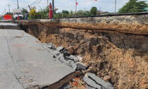
When a big storm hits, rainwater doesn’t just run off the driveway. It seeps into the ground, washes away dirt, and can move buried survey markers. These markers, called monument
s or pins, show where property lines begin and end. If they shift even a little, it can cause confusion later on.
Small changes in the land can create big headaches. A fence, driveway, or drainage line that once sat safely inside your boundary could now look like it’s over the line. When lenders or title companies notice these issues, they often stop the closing until everything is confirmed.
Why Lenders Look Closely After Heavy Rain
Banks want to be sure that what they’re financing is exactly what’s on record. If your property’s features changed after the first survey, they may ask for an updated one before approving the loan. An ALTA Title Survey gives them proof that the property’s boundaries, easements, and elevations are still accurate after a storm.
If strong rain caused erosion, changed drainage, or flooded part of the land, an updated survey makes sure everyone is working with correct information. It keeps closings on time and prevents confusion between owners, lenders, and builders.
Flood Zones and Elevation Checks Matter
Greenville’s rolling hills and clay soil make it easy for water to collect in low areas. After storms, runoff can form small flood zones that weren’t there before. That’s why checking your property’s elevation is important.
An ALTA Title Survey includes both boundary and elevation data. It helps verify that your land still meets flood and drainage rules. For homes near creeks, drains, or retention ponds, these updates also help confirm if you’re in a flood-prone area. Staying accurate with elevation data can even affect your flood insurance rates.
What Can Go Wrong If You Skip the Survey
Skipping a post-storm survey might seem like an easy way to save time, but it can cause problems later. Imagine closing on a home and learning weeks later that your yard’s drainage changed and now floods after every rain. Or finding out that a fence sits on your neighbor’s land because a corner pin moved.
Without an updated survey, you could face repairs, boundary disputes, or lender delays. Some banks may even put the loan on hold if new issues come up after closing.
How to Check Your Property Before Calling a Surveyor
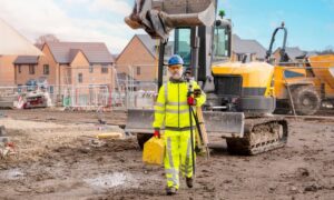
If your lot or job site looks different after a storm, take a quick look around before hiring someone.
- Walk your property and watch for signs of erosion, pooling water, or new low spots.
- Check flood maps and parcel layers online to see your property boundaries and drainage zones.
- Compare your plat or deed and look for changes around fences, driveways, or corners.
- Take photos to show your surveyor what might have shifted or changed.
A quick check like this gives you and your surveyor a clear starting point.
How Surveyors Double-Check Sites After Storms
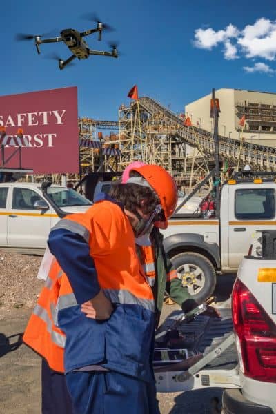
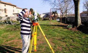
When surveyors visit a site after major rain, they verify existing markers and measure again with precise GPS or total station tools. If something has moved, they reset it using legal descriptions and field evidence.
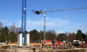
Many surveyors also use drones to take updated aerial photos and create a new 3D map of the land. This helps spot small grade changes or washouts that aren’t visible from the ground. The new data is then added to the ALTA Title Survey, giving lenders a current and complete record of the site.
When to Get an Updated Survey
You don’t need a new survey after every storm, but it’s smart to schedule one if:
- A major storm hit after your first survey.
- Your property was under construction or being graded.
- Your land is close to a creek, pond, or drainage area.
- More than 90 days have passed since your last ALTA Title Survey.
Getting an updated survey before closing avoids reinspection costs and keeps paperwork on schedule.
Keep Your Closing on Solid Ground
Greenville’s fast growth and unpredictable weather make land conditions change quickly. ALTA Title Surveys aren’t just formalities—they’re your way of confirming that what’s written in your contract still matches what’s on the ground.
If your property went through heavy rain or flooding, a quick professional check helps make sure nothing shifted. Surveyors can verify that your boundaries, markers, and elevations are still correct. It also gives lenders updated, reliable data before closing. Taking that small step now prevents bigger issues later, like delays, boundary disputes, or unexpected costs.
Final Tip:
After severe storms, take a few minutes to confirm your property’s condition. Ask your surveyor if an updated ALTA Title Survey is needed before closing. It’s a simple step that helps ensure your property details stay accurate, your lender stays confident, and your closing stays on schedule.
