Greenville is growing fast. New subdivisions seem to appear every month, and neighbors are starting to notice the traffic, the drainage, and the trees coming down. When a developer gets approval for a new neighborhood, the excitement begins, but so do the concerns. This is where a construction survey makes all the difference. Before a single bulldozer pushes dirt, surveyors translate the plans on paper into real points on the ground. Without this step, nothing lines up the way it should.
Growth and Tension in Greenville
Earlier this month, the Greenville County Planning Commission advanced a new subdivision even as residents raised worries about stormwater runoff and crowded roads. Around the same time, city officials scheduled a Project Preview Meeting to invite public feedback before the project moves forward. These stories surface almost every time a big development is proposed, and they highlight the same issue again and again: growth moves faster than many people are ready for.
In the middle of this growth debate sits one quiet but powerful process—surveying. While planning meetings and public hearings often make headlines, the work that surveyors do behind the scenes is what keeps neighborhoods functional and safe.
What a Construction Survey Really Means
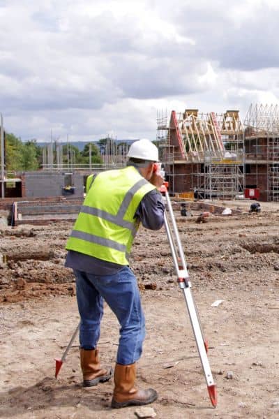
A construction survey is more than just measuring land. It’s the process of marking exactly where roads, houses, storm drains, and utilities will go. Surveyors take the approved subdivision plat—the map that earned a green light from the planning board—and bring it into the real world.
Imagine looking at a football field covered in stakes and paint lines. Each marker tells a bulldozer where to cut, a grader where to smooth, and a pipe crew where to dig. Without those points, the design is only an idea. A construction survey turns it into action.
Why It Matters Before the Bulldozers
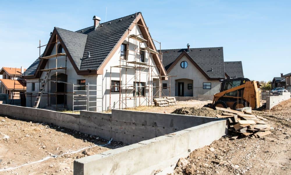
Skipping or rushing this step causes expensive mistakes. A drainage basin staked in the wrong spot can flood the neighbor’s yard. A road set a few feet off course might fail inspection and force a complete rebuild. Even lot lines for homes can drift if surveyors aren’t there to guide the work.
Greenville knows the risks firsthand. Viral clips of sinkholes and stormwater failures are making the rounds this week, and while some of those disasters happen miles away, the message is the same: mistakes in the groundwork show up later as major problems. A good construction survey prevents that.
Connecting the Dots: Traffic, Drainage, and Community Trust
When residents complain about traffic studies or drainage reports, they often don’t realize how tied those issues are to surveying. For example, if surveyors don’t mark the exact right-of-way, a road might feel too narrow once houses fill in. If stormwater pipes aren’t staked with the right slope, rainwater can back up and overwhelm yards.
Surveyors also mark easements—those invisible strips of land reserved for utilities or drainage. They make sure builders don’t put a fence or driveway across a future sewer line. These details may not sound dramatic, but they protect property values and keep peace among neighbors.
How to Read a Subdivision Plat Like a Local
Most people only see a subdivision plat when it shows up in a planning packet. The lines and numbers can feel overwhelming, but a quick guide helps:
- Bearings and distances describe the boundaries of each lot.
- Curve data shapes the cul-de-sacs and road bends.
- Easement lines show where utilities or drainage must flow.
- Setback lines define where houses can sit on each lot.
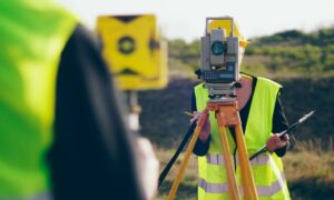
A construction survey takes all those technical marks and puts them on the actual ground. That’s why you’ll see surveyors with tripods, stakes, and orange paint out in a field long before the first bulldozer arrives.
What It Means for Buyers, Builders, and Neighbors
For homebuyers, knowing a lot was staked by a licensed surveyor provides peace of mind. You don’t want to close on a property only to learn your backyard is smaller than you thought.
For developers, construction surveys are insurance against delays. Inspectors in Greenville County and the City of Greenville won’t approve projects if drainage or roads don’t match the approved plat. Fixing those errors after the fact costs far more than doing it right at the start.
For neighbors, a construction survey adds credibility to the promises made in planning meetings. When stakes go into the ground, residents can actually see where basins, sidewalks, and buffers will go. That builds trust that the project respects community standards.
Greenville’s Growth Story Needs Surveyors
Greenville is one of the fastest-growing areas in South Carolina, and every new neighborhood adds pressure on roads, schools, and drainage systems. While debates will continue at public meetings, the quiet work of surveyors ensures growth doesn’t become chaos. A construction survey may not grab headlines, but it shapes the outcome of every subdivision.
Before the bulldozers arrive, surveyors are already out there, making sure the lines on paper match the land underfoot. They are the reason roads line up, stormwater drains correctly, and houses sit where they belong.
Conclusion
Growth is not slowing down, and neither are the concerns about how new subdivisions fit into the community. A construction survey is the step that makes sure the promises of a plat and the needs of a neighborhood come together in real space.
If you’re a developer, skipping this step risks delays, fines, and costly mistakes. If you’re a homebuyer, it gives confidence that your investment is protected. And if you’re a neighbor, it helps ensure the new project down the street won’t create future problems.
The next time you see survey stakes in a field, know this: they’re not just markers. They’re the foundation of future neighborhoods.
