Greenville has had another wild week. Storms rolled through, power flickered, and satellite signals went haywire—just when survey crews were trying to finish their work. For many land surveyors, this kind of weather means waiting it out. Wet soil, unstable GPS connections, and broken power lines can stop projects fast. But this week, some surveyors didn’t stop at all. They turned to drone surveying to keep things moving. And while ground crews battled outages and delays, drones kept flying—capturing the data that developers and engineers needed to stay on schedule.
Why This Week Has Been So Challenging
The trouble started with unusual activity high above Earth. Strong bursts of energy from the sun disturbed the magnetic field and the layers of air that GPS signals pass through. When those signals get bent or slowed down, even a small delay can cause big problems.
Your phone might not notice, but survey equipment sure does. A few inches of error might not sound like much, but in construction, it’s the difference between a perfect foundation and a failed inspection.
Across Greenville’s growing neighborhoods—especially around I-85 and I-385—surveyors noticed their GPS rovers drifting off target. Some lost their signal completely. Combine that with muddy sites and short power cuts, and you have a recipe for frustration.
When GPS Fails, So Does Progress
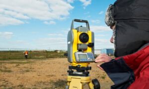
Traditional ground surveying depends on steady satellite signals. Crews use base stations to receive GPS data, which then corrects the handheld or mounted receivers they carry. When those signals weaken or bounce around, accuracy drops.
If a surveyor marks a boundary point twice and gets two different readings, they can’t trust either one. The safe move is to pause and wait for conditions to improve.
But waiting means losing time—and time is money. Developers can’t pour concrete, engineers can’t finish drawings, and permits sit in limbo. This week, a lot of ground teams have been watching the clouds and hoping the signal comes back.
Drone crews, though, have been working the whole time.
How Drone Surveying Keeps Going
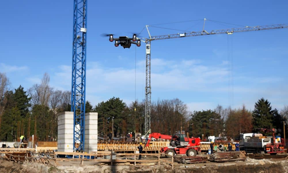
Drone surveying doesn’t rely on real-time satellite correction the same way ground crews do. Drones use built-in sensors, cameras, and GPS modules to collect data while flying a planned route over a site. Then, back in the office, the surveyor processes that data using ground control points that stay fixed and accurate.
Even if the GPS signal drifts a little during flight, the processing software fixes it later. That’s why drone surveys stay reliable when traditional methods can’t.
This week, drone operators across Greenville have been flying over subdivisions to collect grading, elevation, and site layout data in record time. In less than an hour, a drone can map 40 acres, giving engineers a detailed 3D model to work with.
While some teams are stuck waiting for clear skies, drone crews are delivering reports and keeping construction projects on track.
A Real Greenville Example
Let’s picture a real situation.
A developer near Pelham Road needs a grading update for a new subdivision. Overnight, heavy rain knocks out power and disrupts the GPS correction network. The ground crew can’t measure accurately, so work stops.
Instead of waiting another day, they call a drone surveyor. Within hours, the drone is in the air, flying a perfect grid above the site. It takes hundreds of overlapping photos that show every slope, curb, and drain.
Later that afternoon, the data is processed into a high-precision surface model. The developer reviews it, the engineer signs off, and work continues—all before the power lines are back up.
That’s what makes drone surveying such a game changer: it doesn’t depend on perfect weather or flawless GPS signals to get results.
Why Magnetic Storms Mess with Surveying
Every now and then, the sun releases energy that shakes Earth’s magnetic field. When this happens, GPS signals that travel through the atmosphere can bend or slow down. Surveyors call this “signal noise.”
Even if the equipment is working perfectly, those small changes cause the position readings to drift. That’s what many surveyors noticed this week—their equipment seemed fine, but the readings were off by a few inches or more.
You can’t stop magnetic storms, but you can prepare for them. Drone surveying gives surveyors the freedom to keep collecting data safely, even when satellite conditions aren’t ideal.
Drone Tech Built for Tough Conditions
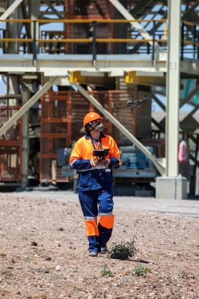
Surveying drones aren’t your average hobby drones. They’re professional tools built for accuracy and endurance. Equipped with high-resolution cameras and smart flight systems, they can capture thousands of data points during each flight.
Specialized software then processes all those photos into a detailed 3D map. The system matches overlapping images and combines them with known ground points to create measurements accurate within a few centimeters.
Even on cloudy days, drones collect high-quality data because they use multiple satellite networks, not just GPS. This makes them less vulnerable to signal interruptions and more dependable during unpredictable weather.
And the biggest advantage? Speed. A task that might take a ground crew eight hours can be done by a drone in 45 minutes. That kind of efficiency is priceless during a busy construction season.
Safety and Accessibility
After a storm, survey sites can be dangerous. Flooded ditches, uneven ground, and slippery slopes make it risky to carry expensive equipment across a property.
Drone surveying solves that problem. Operators can launch from a safe location—like a driveway or parking lot—and still map every inch of the site from above. No need to wade through mud or climb steep embankments.
This makes surveying safer for workers and faster for clients. Developers avoid delays caused by injuries or equipment damage. Surveyors reduce physical strain. And homeowners or builders get their data sooner, without extra visits or fees.
Why Clients Love Drone Surveys
For developers, downtime is expensive. When field crews are forced to stop, the entire project slows down—contractors wait, materials sit unused, and budgets stretch thin. Drone surveying helps avoid those costs.
For engineers, the detailed 3D maps make design updates easier and more accurate. For lenders, the aerial visuals provide proof of progress that supports faster draw approvals. And for homeowners, drone surveys can speed up processes like elevation checks or flood certificate updates.
In Greenville’s fast-moving housing market, staying ahead of schedule is everything. Drone surveying gives builders and property owners that edge.
Lessons from This Week
This week’s events are a reminder that the most successful teams are the ones that adapt. We can’t control the weather or the sun, but we can control the tools we use.
When signals drop and power goes out, drone surveying keeps the data flowing. It’s not just faster—it’s smarter, safer, and more flexible.
As Greenville continues to grow, more surveyors are turning to drones to ensure their work never stops, no matter what happens above the clouds.
Final Thoughts
Greenville’s skyline is changing fast. New subdivisions, roads, and commercial projects appear every month, each starting with an accurate survey. But when bad weather and satellite problems strike, only the teams that innovate can stay on schedule.
This week proved that again. Ground crews waited for their GPS to recover, while drone surveyors kept flying and delivering results.
One local surveyor summed it up perfectly: “When our rover froze, the drone didn’t care—it just kept mapping.”
That’s the future of surveying —reliable, precise, and ready for anything the weather (or the sun) throws its way. Whether you’re planning a new build, checking drainage, or verifying property lines, drone surveying keeps your project moving when everything else slows down.

