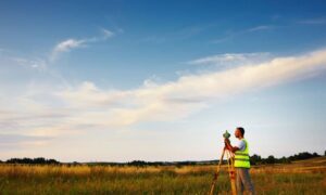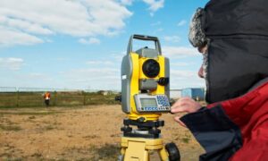
LiDAR mapping is revolutionizing the way we understand and interact with geospatial data. In a world where data drives smarter decisions, this advanced technology uses laser pulses to generate high-resolution, 3D representations of both natural landscapes and built environments. From city planning and infrastructure design to forest conservation and coastal monitoring, LiDAR mapping is becoming an essential tool across a wide range of industries. As global challenges like climate change and rapid urbanization demand more accurate insights, the ability to visualize spatial data through LiDAR is unlocking new possibilities for sustainable development and innovation.
What is Geospatial Data?
Geospatial data is more than just maps—it’s information tied to a location on Earth. Think of it as the “where” factor in data, represented by coordinates like latitude and longitude. This data reveals patterns and relationships we can’t see otherwise, making it essential for decisions in urban planning, disaster response, and environmental conservation.
Sources include:
- Satellite imagery
- Aerial photography
- Ground-based surveys
From topography to vegetation, integrating different types of geospatial data allows us to build accurate, detailed models of both natural and built environments.
How Lidar Technology Works
LiDAR—short for Light Detection and Ranging—uses laser pulses to measure distances. It works like this:
- A laser emits a light pulse.
- The pulse hits a surface and reflects back.
- A sensor records the return time.
This method, repeated millions of times per second, creates a “point cloud” that forms a 3D model of the terrain. LiDAR systems can be:
- Terrestrial (ground-based)
- Aerial (mounted on drones or aircraft)
A huge benefit? LiDAR can see through vegetation, making it ideal for dense forests or overgrown areas.
Applications of LiDAR Mapping in Various Industries
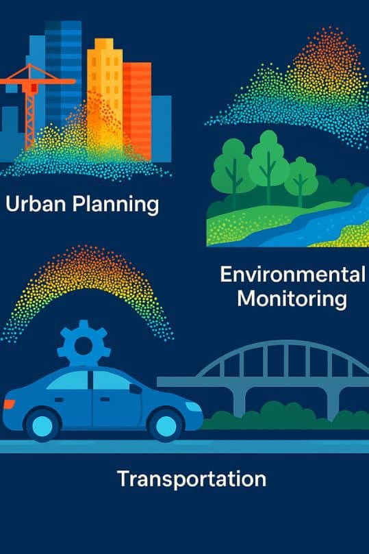
Urban Planning
- Create detailed 3D city models
- Simulate infrastructure development
- Plan emergency response routes
Environmental Monitoring
- Map forests and tree canopy density
- Predict flood risks
- Monitor shoreline erosion
Transportation
- Enable autonomous vehicle navigation
- Inspect roads, bridges, and tunnels
- Map new transportation corridors
Advantages of LiDAR Over Traditional Surveying Methods
| Feature | Lidar | Traditional Surveying |
| Speed | Covers large areas fast | Time-consuming |
| Accuracy | Sub-centimeter precision | Lower in vegetated terrain |
| Vegetation Penetration | Yes | No |
| Environmental Versatility | All-weather, all-light | Limited by conditions |
The Role of LiDAR in Environmental Monitoring
Lidar provides a level of environmental insight that was once impossible:
- Forest health: Analyze biomass and detect deforestation.
- Flood modeling: Simulate water movement with topographic detail.
- Coastal management: Monitor beach erosion and sea-level changes.
- Coral reefs: Map submerged ecosystems without disturbing them.
Future Trends in LiDAR Mapping Technology
The future of LiDAR is exciting and dynamic. Here’s what’s coming:
- Miniaturized sensors: More affordable and drone-friendly
- Sensor fusion: Combining Lidar with hyperspectral or photogrammetric imaging
- Solid-state Lidar: Essential for reliable self-driving vehicles
- Cloud-based processing: Streamlining storage and analysis
Challenges and Limitations of LiDAR Mapping
Even with all its perks, Lidar has hurdles:
- Cost: Equipment and processing tools are pricey
- Environmental conditions: Fog or rain may affect accuracy
- Data overload: Point clouds require heavy-duty storage and computing power
- Expertise needed: Specialized software and trained analysts
How to Get Started with LiDAR Mapping
Ready to dive in? Here’s a step-by-step guide to help you begin. First, choose the right system—either terrestrial or aerial—based on your project needs. Then, plan the survey path, optimize scanning conditions, and process the collected data into usable formats.
If you’re new to the technology or working on a large-scale project, it’s wise to consider professional LiDAR mapping services to ensure accuracy, efficiency, and compliance with industry standards. These services provide access to expert teams and advanced tools that streamline the entire process from data collection to final analysis.
Conclusion: The Impact of LiDAR on the Future of Geospatial Data
LiDAR is transforming how we view and interact with the world. Its ability to produce rich, detailed 3D maps is powering smarter decisions across sectors—from infrastructure to conservation. As sensors become more affordable and integration with other tech increases, Lidar will only become more indispensable.
FAQs
1. What is LiDAR mapping used for?
It’s used in city planning, forestry, autonomous vehicles, flood modeling, archaeology, and more.
2. How accurate is LiDAR data?
Lidar can achieve sub-centimeter accuracy, especially with high-density scans.
3. Can Lidar see through trees?
Yes! LiDAR can penetrate foliage, enabling it to map terrain under dense vegetation.
4. What industries benefit most from LiDAR?
Urban planning, environmental science, transportation, construction, and emergency services.
5. How does LiDAR differ from radar?
Lidar uses laser light; radar uses radio waves. Lidar offers higher resolution.
6. Is LiDAR expensive?
Yes, especially aerial systems. However, drone-based and solid-state options are reducing costs.
