Welcome to ALTA Survey South Carolina

Your Final Stop for Your ALTA Survey Needs!                              Contact us today for a free quote!

This site is intended to provide you with information on ALTA Surveying in South Carolina. If you’re looking for a South Carolina Land Surveyor, you’ve come to the right place. If you’d rather talk to someone about your land surveying needs, please call our toll-free number at (888) 808-9783 today. For more information, please continue to read.

ALTA Survey South Carolina

Land Surveyors are professionals who make precise measurements to determine the size and boundaries of a piece of real estate.  While this is a simplistic definition, boundary surveying is one of the most common types of surveying related to home and land owners. If you fall into the following categories, please click on the appropriate link for more information on that subject:

ALTA Survey South Carolina services:

    1. I need to know where my property corners or property lines are. (Boundary Survey)
    2. I have a loan closing or re-finance coming up on my commercial property. (ALTA Survey)
    3. I need a map of my property with contour lines to show elevation differences for my architect or engineer. (Topo Survey – ALTA Survey plus Table A Item 5.)
    4. I’ve just been told I’m in a flood zone or I’ve been told I need an elevation certificate in order to obtain flood insurance or prove I don’t need it. (Flood Survey)
    5. I’m purchasing a lot/property for a commercial use. (ALTA Survey – Item 5 and/or Item 11b may also need to be discussed.)
    6. I’m purchasing a larger tract of land, acreage, that hasn’t been subdivided in the past. (Boundary Survey)

author avatar
Surveyor

More Posts

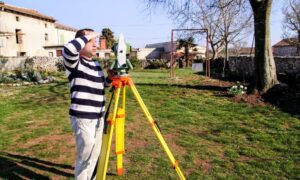
Surveyor holding site plans during an elevation survey with equipment set up to measure property height and flood risk
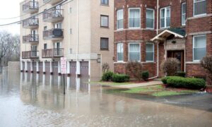
flood damage
Surveyor

Why Elevation Survey Matters for Safer Building 

If you’ve heard the term elevation survey, you might wonder why it’s such a big deal in Greenville right now. As the city grows and changes, knowing exactly how high or low your land sits has become a real game changer. Whether you’re planning to build a home, buy land,

Read More »
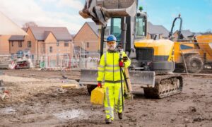
Land surveyor using equipment on a construction site during a topographic survey
flood damage
Surveyor

Topographic Survey: Your First Step to a Smooth Project

If you’re thinking about starting a new construction or redevelopment project, here’s the thing: you can’t build on guesswork. You need to know your land inside and out. That’s exactly what a topographic survey does. It’s like getting a detailed map of everything that’s already on the land—hills, valleys, trees,

Read More »
Engineer operating drone for Lidar mapping survey at sunset
land surveying
Surveyor

The Future of Geospatial Data: The Power of Lidar Mapping Explained

LiDAR mapping is revolutionizing the way we understand and interact with geospatial data. In a world where data drives smarter decisions, this advanced technology uses laser pulses to generate high-resolution, 3D representations of both natural landscapes and built environments. From city planning and infrastructure design to forest conservation and coastal

Read More »

How ALTA Surveys Simplify Planning for Greenville Projects

Architects and planners need precise land data before they begin a project. Without it, they risk delays, design conflicts, and approval setbacks. In Greenville SC, an ALTA survey gives the verified site details needed for clear layouts, smart planning, and early coordination across design teams.  Setting the Ground Rules for

Read More »

Welcome to ALTA Survey South Carolina

Your Final Stop for Your ALTA Survey Needs!                              Contact us today for a free quote! This site is intended to provide you with information on ALTA Surveying in South Carolina. If you’re looking for a South

Read More »

What Is A Land Surveyor?

A Land Surveyor is essential whenever you plan on building on property, or buying an already built commercial property.  Many land surveyor have worked throughout our country history. In fact, three of the four faces carved on Mount Rushmore are land surveyors (Presidents George Washington, Thomas Jefferson and Abraham Lincoln

Read More »