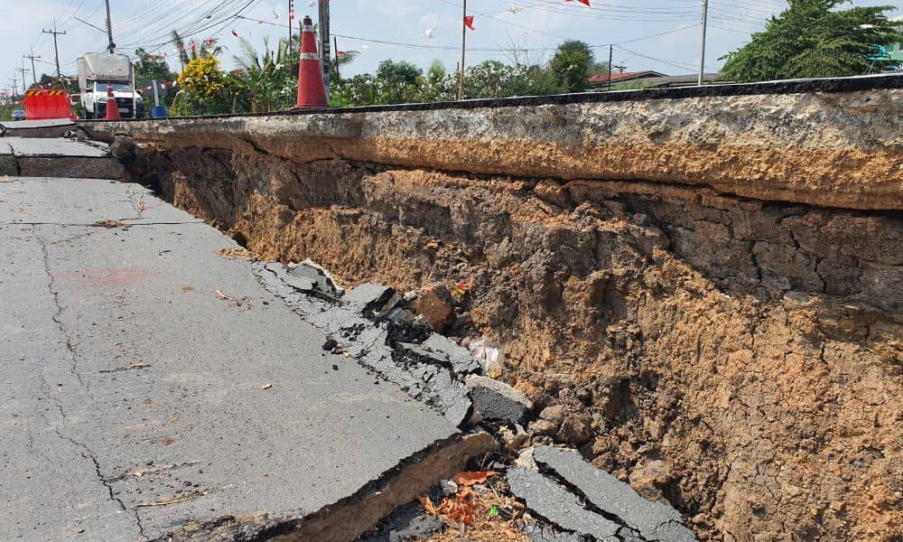
Woodruff Road is known for heavy traffic, but this time it wasn’t just cars slowing things down. A water pipe burst and caused a large sinkhole near one of Greenville’s busiest intersections. The road flooded, lanes closed, and drivers got stuck for hours. Videos of the mess spread fast online. People complained, businesses posted updates, and crews rushed to fix the problem. Underneath it all was a bigger issue—one that started long before the road fell apart. When builders skip important ground checks, problems show up later in costly ways. That’s why every builder should insist on a construction staking survey. It’s the step that makes sure roads, pipes, and drainage systems are built exactly where they should be—and at the right height.
What Really Happened Beneath the Road
The Woodruff Road failure wasn’t random. Heavy rain, old pipes, and weak soil came together at the worst time. Once the pipe burst, water started washing away the dirt underneath. Without a solid base, the pavement caved in.
These kinds of issues usually start small. Many construction crews rely on old maps or plans that don’t match what’s underground. If the survey stakes are off by even a few inches, pipes can sit too high or too low, and water won’t drain properly. Over time, those small mistakes turn into big failures.
The Step That Keeps Everything Aligned
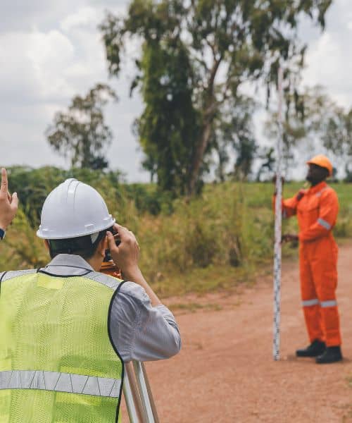
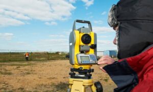
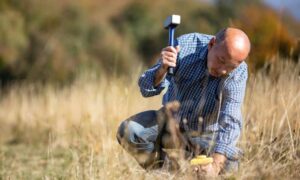
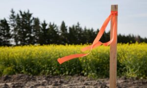
A construction staking survey marks the exact points on the ground where things should be built. Think of it as turning a design on paper into real, visible marks in the field.
Surveyors use these stakes to guide every part of the project—where to dig, where to pour concrete, and where to install drains or pipes. The stakes show crews exactly how high or low to build so water flows away from the road instead of pooling under it.
This isn’t just a quick step before work starts. It’s one of the most important safety checks on any project. Greenville’s red clay soil and frequent rain make it even more important. A few inches off grade can cause serious drainage or erosion problems later.
Why Utility Corridors Need Extra Care
Construction staking surveys aren’t only for housing developments. They’re even more critical for busy commercial roads like Woodruff. These areas are packed with buried utilities—water, sewer, gas, and power lines—all running close together.
If one line is in the wrong place, it can interfere with the others. For example, if a storm drain is too shallow, it can cross too close to a water main. Or if the pavement slope is off, rainwater may collect and weaken the ground below. Over time, that weak spot grows until the road collapses.
To avoid that, surveyors combine Subsurface Utility Engineering (SUE) data with staking. SUE uses radar and other tools to locate existing utilities before new ones are built. When surveyors stake the site using this data, it ensures every new line fits perfectly with what’s already there.
Re-Staking After Heavy Rain
Greenville’s weather adds another layer of risk. The red clay here expands when it’s wet and shrinks when it dries. That movement can throw off the stakes and change the slope of the ground.
Smart builders re-stake their sites after heavy rain. Checking the control points again before paving or pouring concrete helps catch small shifts before they become big problems. It’s a simple step that saves time and money later.
Every storm slightly changes the ground. Heavy machinery and trench work do too. Re-staking after major rain events makes sure everything still matches the design—and helps avoid costly rework.
The Real Cost of Skipping It
Fixing the sinkhole on Woodruff Road took days and cost thousands of dollars. Businesses lost customers, and commuters wasted hours in traffic. Yet, the problem could have been avoided with better data and careful checks.
Skipping a construction staking survey might save a few hours early on, but it risks weeks of delay later. Spending $1,500 for proper staking is nothing compared to the cost of a road repair or lost revenue.
The builders who do it right—staking at every stage of work—get smoother inspections, faster approvals, and fewer surprises. They also protect their reputation when something goes wrong underground.
How Builders Can Do Better
Start by hiring a licensed land surveyor who knows the local terrain and stormwater rules. Local surveyors understand the red clay, steep slopes, and drainage systems that make this area tricky to build on.
Next, make staking part of your construction plan, not an afterthought. Stake before digging, verify after compaction, and re-stake before paving. That process keeps everyone accountable and ensures each step aligns with the approved design.
Also, keep clear records. Ask your surveyor for stake maps, digital field notes, and control reports. These documents help during inspections and protect you if any issues come up later.
Finally, follow Greenville County’s stormwater and erosion rules closely. These rules exist for a reason—to prevent flooding and protect public roads. Proper staking supports every one of those goals.
A Simple Lesson from a Costly Mistake
The Woodruff Road sinkhole showed everyone how quickly things can go wrong when the groundwork isn’t right. Beneath the asphalt, small mistakes with pipes and elevations added up over time.
A construction staking survey could have prevented it. It’s more than just marks on the ground—it’s a safeguard for the whole project. It connects design plans with real-world accuracy, keeping everything lined up and stable.
As Greenville keeps growing, builders face pressure to move fast. But cutting corners underground never pays off. Slowing down for one extra survey can save months of trouble later.
So before the next big project starts, make sure your site is staked and verified by a professional. Because when the ground gives way, it’s not the rain or the road that failed—it’s the missing survey that could have stopped it.

