In Greenville, the recent land transfer debate showed why an alta land title survey matters more than ever. When a large property near Arcadia Drive was moved between the city and county, confusion followed. Neighbors weren’t sure where the real property lines were, and questions about “who owns what” spread quickly.
It might sound like a political issue, but at its core, this story is about boundaries. Clear boundaries protect property owners, neighborhoods, and even local governments. The best way to make sure those lines are right is through a proper land survey—especially one done to alta standards.
When Boundaries Get Blurry
Imagine finding out that a piece of land you thought belonged to your neighborhood was suddenly part of another project. That’s what happened near Arcadia Drive. The issue wasn’t only the transfer—it was the lack of clarity behind it.
Boundaries, plats, and easements are the invisible lines that define every property. When records are old or incomplete, misunderstandings happen. A small error on a map or a missing easement note can cause months of frustration for homeowners and city officials.
Survey data might sound technical, but it’s really about trust. When everyone knows exactly where the lines are, there’s less room for confusion and fewer arguments.
Why an ALTA Land Title Survey Makes the Difference
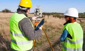
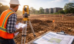
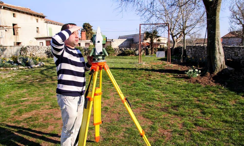
An alta land title survey goes far beyond a basic property sketch. It combines legal details from the title with exact field measurements made by a licensed surveyor. The result is a complete, certified map that shows boundaries, easements, encroachments, utilities, and access rights—all in one clear view.
In Greenville’s case, an alta survey could have brought order long before the land transfer happened. Here’s how it helps:
- Clear ownership: It confirms the true property boundaries and removes any doubt about what’s being transferred.
- Easement awareness: It identifies rights-of-way and utility areas so there are no surprises later.
- Community transparency: When accurate maps are shared, neighbors feel informed and included.
- Fewer disputes: Proper documentation helps stop conflicts before they start.
When everyone has the same facts, there’s no space for rumors or guesswork.
Lessons for Homeowners
You don’t have to own a big piece of land for this to matter. Greenville is growing fast, and new developments, road projects, and annexations are reshaping property lines every year. Homeowners can protect themselves by staying informed and understanding what’s on their title.
Start by reviewing your deed and looking at your recorded plat. Compare it to current maps from the county. If fences or driveways don’t seem to match those lines, that’s a red flag. Call a licensed surveyor before the problem grows.
A good survey protects you from neighbor disputes, delays in selling your home, or issues during refinancing. Even small mistakes in legal descriptions can lead to big costs later on.
Growth, Development, and the Need for Accuracy
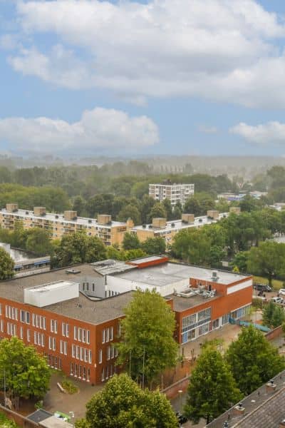
Greenville’s growth brings both opportunity and change. New roads, utilities, and public projects mean more overlapping property lines and shared spaces. When these projects expand without updated surveys, confusion can spread quickly.
An alta land title survey keeps everyone aligned. It protects public interests by clearly marking where private property ends and public land begins. For homeowners, it provides peace of mind. For developers, it builds trust with the community.
When boundaries are known, it’s easier for residents, planners, and local leaders to work together confidently.
How Homeowners Can Stay Ahead
If you own property it’s smart to get ahead of potential boundary issues. You don’t need to wait for a dispute to act. An alta survey or a detailed boundary survey is worth it, especially if:
- You live near a city or county border.
- Your area is seeing new development or road work.
- Your neighborhood has shared driveways or older plats.
- You plan to sell, build, or refinance soon.
A current, accurate survey gives you confidence in every decision related to your property. It helps you understand exactly what you own—and what you don’t.
A Wake-Up Call for the Community
The Arcadia Drive situation is a reminder that land ownership isn’t just about paperwork. It’s about fairness, transparency, and communication. As Greenville continues to expand, it’s crucial to make sure land records are as up to date as the city’s growth itself.
An alta land title survey might sound technical, but it’s one of the most practical tools a property owner can use. It shows that every parcel, from a small backyard to a large commercial site, is clearly defined and respected. When boundaries are clear, communities can grow with fewer problems and stronger trust.
Final Thought
Boundary issues rarely begin with bad intentions. They start when people don’t have the right information. In Greenville, one detailed survey could have prevented weeks of confusion and frustration.
Whether you own a home, manage property, or just care about your neighborhood, remember this: clear lines make calm communities.
An alta land title survey doesn’t just draw a map—it protects your investment, defines your space, and brings peace of mind to everyone involved.