Land in the Upstate holds a long history. Many properties started as large farm tracts that were later divided into smaller lots. Because of this, some property lines no longer match what the old maps show. When this happens, a boundary line survey becomes more than just marking corners. It becomes a careful process of bringing the past and present together so the property lines make sense again. This is especially true in Greenville, Spartanburg, and the surrounding areas where old plats often contain clues that no longer exist on the ground.
Re-establishing missing corners is one of the most technical jobs a surveyor handles. Yet it is also one of the most important, because everything from fences to home additions depends on getting the lines right. Understanding how surveyors bring old plats back to life helps property owners know what to expect—and why the work takes time.
Why Old Plats Don’t Match Today’s Land
Many plats in Upstate South Carolina date back decades. Some even use measurements and tools that were common long before GPS or total stations existed. They often describe boundaries using trees, stones, creeks, or fence lines. Those features might be gone today, and the land might look completely different. Even small changes in terrain, erosion, new roads, or grading work can shift what the lines used to show.
Because the land has changed, the old plat doesn’t always fit the ground you see now. Surveyors must interpret the intent of the original map while using modern tools to create a clear picture. This mix of old and new is where the real challenge begins.
How Surveyors Read Historic Plats
Old plats are full of small details that matter. Surveyors look at bearings, distances, curve data, and adjoiner calls. They check how the old surveyor described each corner. A single line might say something like “to the oak tree at the fence.” If the oak tree is long gone, the surveyor has to look for other evidence. Maybe the stump remains. Maybe the fence left behind a post. Or maybe there are signs of other old markers nearby.
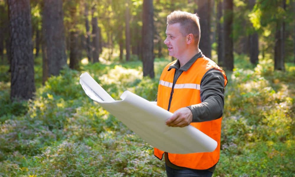
Surveyors also compare multiple records. Often, the neighboring property has a plat that gives another perspective. When several old documents describe the same corner, the surveyor pieces them together to understand the original intent. It takes patience to sort through clues like these, and that’s why property owners often turn to expert land boundary work when old plats start raising more questions than answers.
This work starts long before anyone steps into the field. The research stage helps surveyors know which clues might still exist and which ones have likely vanished.
How Field Work Brings Everything Together
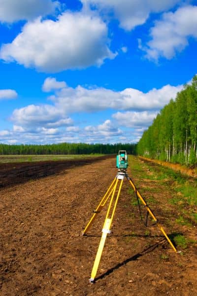
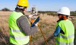
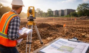
Once the research is complete, surveyors head out to find physical evidence. They look for any remaining monuments such as stones, iron pipes, rebar, or old fence corners. Sometimes they find markers that were buried or covered by vegetation. Other times they find nothing at all. Even so, the land often leaves hints. Soil disturbance, leftover roots from an old tree, or a shift in terrain can help pinpoint where a corner once stood.
Surveyors then use GPS, total stations, and GIS mapping tools to create a modern framework. These tools help check how the old plat aligns with today’s land. The goal is not to “force” the land to match the map but to find the most reliable evidence that shows the original boundary.
This step often involves moving back and forth between old data and new measurements. It takes time, but each piece builds a stronger picture of where the missing corner belongs.
When Corners Are Lost, Obliterated, or Disturbed
Surveyors classify missing corners in different ways. A lost corner is one where no physical evidence remains at all. An obliterated corner once had a monument, but other evidence still helps locate its original position. A disturbed corner is one that was moved or damaged, so it no longer sits where the original surveyor placed it.
These differences matter. They guide the method used to restore the corner in a way that respects both the original intent and modern standards. Although the process is technical, it ensures the final results are defensible and clear.
How Surveyors Re-Establish a Missing Corner
The most common method is proportionate measurement. This simply means that surveyors take the distances between known corners and use those measurements to recreate where the missing one should fall. It’s a logical approach based on math and evidence, not guesswork.
Surveyors also use the “hierarchy of evidence.” This is a system that helps decide which clues hold the most weight. For example, a long-standing natural feature might carry more authority than a distance written on an old plat. An iron pin from the early 1900s may override a newer fence line that doesn’t match the original description.
All of these pieces help form a picture of the boundary as it was meant to be. When the missing corner is restored, surveyors mark it with clear, modern monuments so future surveys won’t face the same problem.
Why the Upstate Has Unique Corner Challenges
The Upstate region contains rolling hills, shifting streams, red clay soils, and thick vegetation. All of these influence how old corners were placed—and how well they survived. Many parcels began as farmland with informal boundaries. Over the years, subdivisions grew from these larger tracts. Because of this, some boundary lines follow shapes that don’t seem to fit today’s neighborhood layout.
Additionally, improvements such as road widenings, grading for new homes, and utility installations can disturb or remove old markers. Surveyors must work through these layers of history to create an accurate boundary line survey for today’s property owners.
What Property Owners Should Expect
Re-establishing a missing corner takes more time than a standard boundary survey. Surveyors may need several visits to locate evidence and verify the results. The work includes research, field investigation, calculations, and documentation.
Costs can vary depending on how much evidence remains. A parcel with several intact corners is easier to restore than one with none. Also, properties with multiple old plats often require deeper research to understand how the land changed over time.
Owners can help by sharing any old maps, deed descriptions, or notes handed down over the years. Even small details can make a big difference.
Conclusion
Restoring a missing boundary corner isn’t simple, but it’s one of the most important steps in protecting your property. When a surveyor combines historic plats with modern tools, the result is a boundary line survey that reflects both the past and the present. In a region like Upstate South Carolina, where land has changed through generations, this careful approach ensures your property lines remain accurate, reliable, and ready for whatever you plan next.