If you’ve heard the term elevation survey, you might wonder why it’s such a big deal in Greenville right now. As the city grows and changes, knowing exactly how high or low your land sits has become a real game changer.
Whether you’re planning to build a home, buy land, or just want to be sure your property is safe from flooding, an elevation survey gives you the facts you need. And in 2025, with Greenville booming, it’s more useful than ever.
What’s an Elevation Survey, Anyway?
An elevation survey tells you how high your land is compared to the water level nearby — kind of like checking if your backyard is on a hill or in a low spot. It might sound simple, but it’s critical because it shows whether your property could flood.
In Greenville, where rivers, hills, and low areas all meet, knowing your elevation can save you major headaches. It also plays a role in things like flood insurance or whether the city will approve your building plans. Without this knowledge, you could face delays, unexpected costs, or even denied permits.
Greenville Is Growing — And So Is the Need to Know About Land Elevation
With new homes and businesses popping up everywhere — from downtown to neighborhoods near Simpsonville — accurate elevation information matters more than ever. Builders and developers rely on elevation surveys to plan where water will flow, making sure it doesn’t flood homes or block roads.
At the same time, homeowners benefit too. If your property sits near the Reedy River or any other creek, getting an elevation survey can make a big difference. It might mean paying less for flood insurance, or avoiding costly surprises when you remodel or add onto your home.
And here’s the thing: Greenville is just one example. Elevation surveys are valuable in any city where growth, rivers, and flood risks overlap. That’s why smart property owners everywhere are making this step part of their planning process.
Greenville’s New Floodplain Map
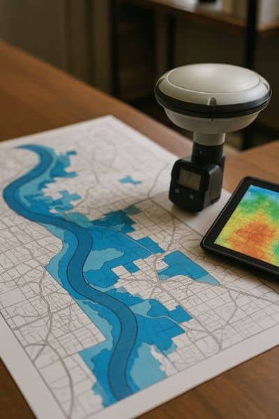
In January 2024, Greenville released an updated floodplain map. This new map shows which areas in the city are more likely to flood during heavy rain or major storms.
The update used better technology and more accurate data than before. Because of that, the new map actually reduced the amount of land marked as flood-prone. For some property owners, that’s good news — land that was once inside a flood zone might now be outside of it.
But here’s the catch: even with a better map, questions still come up. Maps cover large areas, but they don’t always tell the full story of one specific property. Water doesn’t always follow the lines on paper — it follows the shape of the land.
That’s where land surveying really proves its value. A professional elevation survey gives you site-specific details that go far beyond what a citywide map can show. It can pinpoint exactly how high or low your land sits compared to known flood levels.
With that information, you’re no longer guessing. You’ll know whether your property is at real risk — and if it isn’t, you may be able to lower your flood insurance costs or even remove the requirement altogether.
For builders, that same data helps with planning safe drainage and avoiding delays in the permit process. For homeowners, it brings peace of mind. And for anyone buying land, it’s a smart step to take before making a big investment.
Why Elevation Still Matters, Even With New Maps
Flood maps are helpful, but water doesn’t always follow the lines on paper — it follows the shape of the land. That’s why knowing your property’s exact elevation is still essential.
For builders, elevation surveys guide design decisions and drainage plans. For homeowners, they bring peace of mind and help with insurance. And for city officials, they provide reliable data to approve construction. Everyone benefits when the land is measured accurately.
Even if you’re not in Greenville, the same principle applies. Growing cities across the country are updating maps and requiring better flood planning. In every case, an elevation survey gives you the certainty a general map cannot.
Surveying Technology Has Come a Long Way
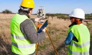
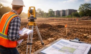
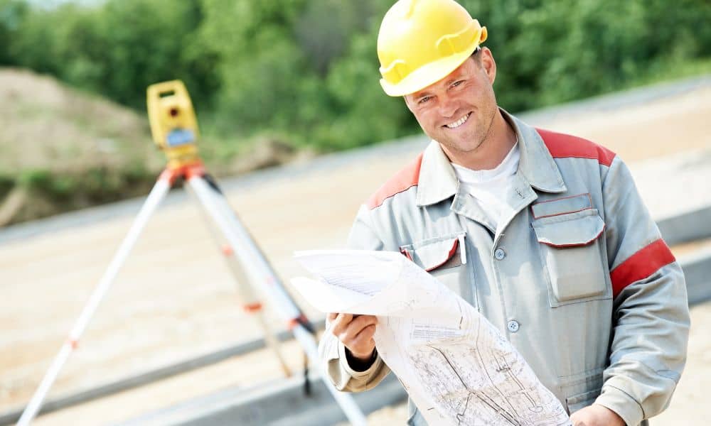
Surveying today looks very different from the old days. Instead of tape measures and guesswork, surveyors now use drones, GPS, and LiDAR scanners to create highly detailed maps of the land.
These tools allow surveyors to capture elevation data more quickly and more accurately than ever before. Drones can cover wide areas in minutes, while LiDAR produces precise 3D images of slopes, hills, and low spots. This technology doesn’t just make the survey more accurate — it makes the entire process faster and easier for property owners.
As a result, you can get the information you need without long delays. That means quicker permits, smarter design decisions, and fewer headaches during construction.
Who’s Getting Elevation Surveys These Days?
Across Greenville, more and more people are discovering the benefits:
- Homeowners use surveys to lower insurance costs and protect their property.
- Builders depend on surveys to secure permits and design safe projects.
- Investors request them before buying land to avoid risky deals.
- Architects and engineers rely on surveys to create designs that fit the terrain.
Elevation surveys are not just for Greenville. Anywhere that flooding, building codes, or redevelopment are factors, an elevation survey becomes a smart first step.
Finding the Right Surveyor in Greenville
When you’re ready for an elevation survey, choosing the right surveyor matters. Look for someone local who understands Greenville’s rivers, hills, and floodplain rules. A surveyor with real experience in the area can spot issues others might miss.
Also, make sure they use modern tools like drones and LiDAR. Technology improves accuracy, but good communication matters too. The best surveyors explain results clearly, so you know exactly what the numbers mean for your property.
Extra Tips Before You Order a Survey
To get the most out of your elevation survey, keep these tips in mind:
- Order early: Don’t wait until the last step of planning. The sooner you know your elevation, the fewer surprises you’ll face.
- Update if needed: Land can change with new construction, grading, or drainage work. A fresh survey ensures your data is current.
- Use it for more than insurance: Think beyond premiums. Elevation surveys help with building permits, remodeling, and future resale value.
- Ask questions: A good surveyor will explain everything in plain English, not technical jargon.
Wrapping It Up
Greenville is changing fast, and elevation surveys are helping everyone keep up. They make construction safer, reduce flood risks, and can even save money on insurance.
But Greenville isn’t the only city where this matters. No matter where you live, knowing your property’s elevation can protect your investment and give you peace of mind. So whether you’re building, buying, or simply curious, getting an elevation survey is one of the smartest moves you can make in 2025. It shows you exactly where you stand — literally — and helps you plan with confidence.
And while elevation surveys are essential for homeowners and local projects, larger commercial developments sometimes need even more detail. In those cases, many property owners turn to ALTA survey resources, which include additional data like boundary verification, site improvements, and optional Table A items. Together, these surveys ensure that every type of project — from a single-family home to a major development — is built on solid ground.